OTI REGION
DEPARTMENT OF URBAN ROADS, OTI REGION REHABILITATION OF ROAD NETWORK IN KRACHI WEST MUNICIPALITY
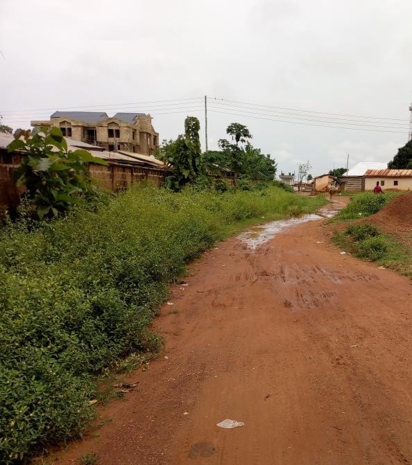
REHABILITATION OF ROAD NETWORK IN KRACHI EAST MUNICIPALITY
Krachi is the capital town of Krachi West Municipality of Oti Region and located 95km from Dambai the Regional capital. The Municipality is located at the western part of the Region. It lies within longitude 00 25’West and 00 20’East and latitude 70 40’North and
80 25’North and shares boundaries with five (5) Assembly Areas as follows, Kpandai and
East Gonja Districts (Northern Region) on the North, Krachi East Municipality on the East, Krachi Nchumuru on the South and Sene District of the Bono Region on the West. This Municipality has an approximate land size of 4,169km2 and a population size of 61,128 according to the 2021 census report. It has a total of twenty-two (22) electoral areas and is politically administered under one constituency.
To enhance connectivity of road network, improve quality of life of the citizenry through efficient and effective agricultural production, industry and tourism etc. Also to ensure safety and security for all categories of road users.
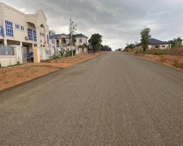
The attached table indicates scope, contract data and progress
REHABILITATION OF ROAD NETWORK IN KRACHI EAST MUNICIPALITY

Krachi East Municipal is one of the nine (9) municipalities and districts in the newly created Oti Region of Ghana. It is located at the central portion of the Oti Region. The Municipality lies between latitudes 7º 40’North and 8º 15’North and longitudes 0º 6’East and 0º20’East.
The Municipality shares boundaries with the six (6) Assembly Areas as follows, Nkwanta
South Municipality and Nkwanta North District on the North, Kadjebi District on the East, Biakoye District on the South East and Krachi West Municipality and Krachi Nchumuru District on the West.
The Krachi East Municipality has an approximate land size of 2,759km2 and a population size of 110,435. According to the 2021 census report 66,261 of this population lives in the urban part of the Municipality.
Dambai, the capital of the Municipality as well the Regional capital has a total of twentyone (21) electoral areas and is politically administered under one constituency.
To enhance connectivity of road network, improve quality of life of the citizenry through efficient and effective agricultural production, industry and tourism etc. Also to ensure safety and security for all categories of road users.
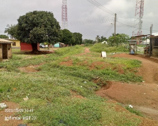
The attached table indicates scope, contract data and progress
REHABILITATION OF ROAD NETWORK IN JASIKAN MUNICIPALITY
Jasikan is the capital town of Jasikan Municipality of Oti Region and located 110km from
Dambai the Regional capital. The Municipality is located at the Southern part of the Region. It lies within longitude 00 15’East and 00 45’ East and latitude 60 45’ North and 70 15’ North and shares boundaries with three (3) Assembly Areas as follows, Kadjebi District on the North, Republic of Togo on the East, Guan District on the South and Biakoye District on the West. The Municipality has an approximate land size of 555.8km2 and a population size of 59,695 according to the 2021 census report. This Municipality has a total of forty (40) electoral areas and is politically administered under one constituency.
To enhance connectivity of road network, improve quality of life of the citizenry through efficient and effective agricultural production, industry and tourism etc. Also to ensure safety and security for all categories of road users. Also strategically positioned as a result of eastern corridor road to facilitate movement from the south to the north.
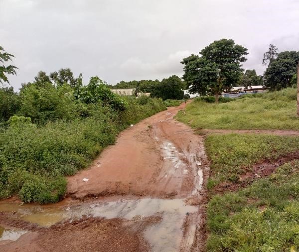
The attached table indicates scope, contract data and progress
REHABILITATION OF ROAD NETWORK IN NKWANTA SOUTH MUNICIPALITY


Nkwanta South Municipal is one of the nine (9) municipalities and districts Assemblies in the Oti Region of Ghana. The Municipality is located in the northern part of the Region and lies between latitudes 70 30’North and 80 45’ North and longitude 00 10’ East and 00 45’East.
The Municipality shares boundaries with the three (3) Assembly Areas as follows, Nkwanta North District on the North, Republic of Togo on the East, Kadjebi District on the South and Krachi East Municipality on the West. The Nkwanta South Municipality has an approximate land size of 2,733km2 and a population size of 135,936. According to the 2021 census report 108,748 of this population lives in the urban part of the Municipality.
Nkwanta, the capital of the Municipality is located 65km from Dambai the Regional capital. The Municipality has a total of thirty (30) electoral areas and is politically administered under one constituency.
To enhance connectivity of road network, improve quality of life of the citizenry through efficient and effective agricultural production, industry and tourism etc. Also to ensure safety and security for all categories of road users. Also strategically positioned as a result of eastern corridor road to facilitate movement from the south to the north.
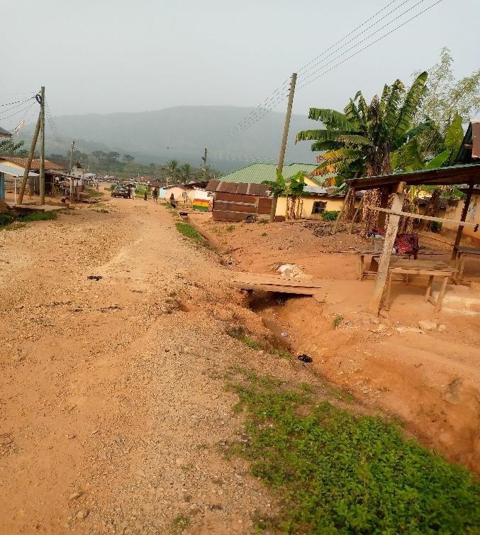
The attached table indicates scope, contract data and progress